© Stephanie Kröber / Das Bergische

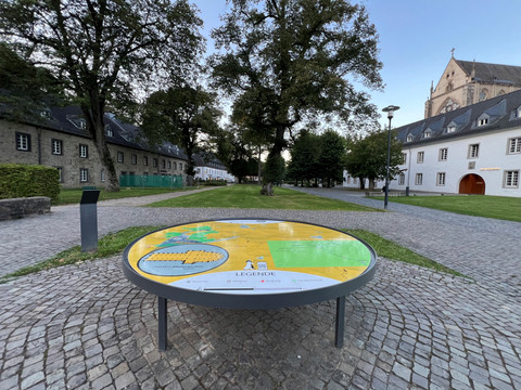
Cisterscapes 3D landscape model

Short facts

  • Odenthal
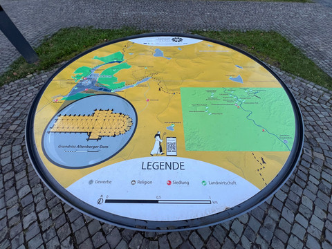
The 3D landscape model exemplifies the landscapes cultivated by the monasteries over the centuries and the shared cultural heritage of the Cistercians in Altenberg.
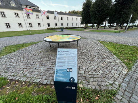
The map, which is over 2 metres in size, uses markers from the areas of agriculture, settlement, religion and crafts to show the local traces of the Altenberg Cistercian monks in Odenthal and their sphere of influence in the greater Cologne area.

With the Cisterscapes app, you can experience the model interactively 
and in three dimensions. Augmented reality brings the 
most important Cistercian buildings on site to life, above all 
the Altenberg Cathedral! Virtual info points provide 
interesting information about the 35 markers distributed across the map.

In the app, you can also learn more about the European 
heritage of the 16 other Cistercian monastery landscapes in 
a total of five European countries.
Good to know

Contact

Cisterscapes 3D landscape model
Eugen-Heinen-Platz
51519 Odenthal - Altenberg
Deutschland

Phone: +49 2174 / 419950
E-mail:

Next steps

It appears that you are using Microsoft Internet Explorer as your web browser to access our site.

For practical and security reasons, we recommend that you use a current web browser such as Firefox, Chrome, Safari, Opera, or Edge. Internet Explorer does not always display the complete content of our website and does not offer all the necessary functions.